

 Email us


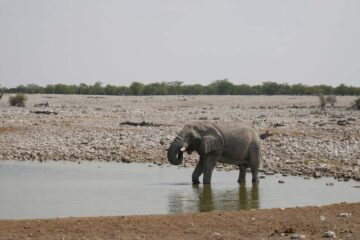
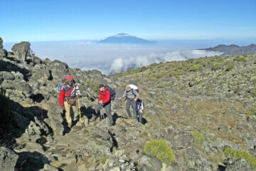
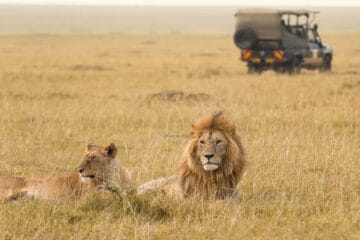
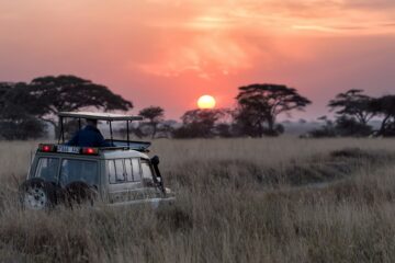
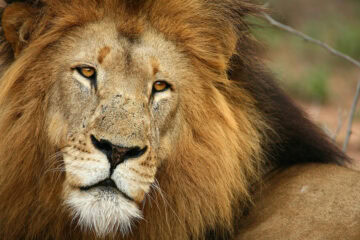
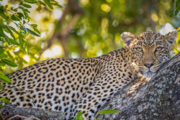


Nobody warns you about the quiet that follows a Kruger safari. For days, your ears have been tuned to every rustle in the grass. Then you’re back in a vehicle, the bush falls away behind you, and the road starts to climb.
That climb ends at the Panorama Route, the stretch of Mpumalanga where the Drakensberg escarpment finishes so abruptly it looks as if someone yanked the tablecloth off the Lowveld.
The short version, for the practical among us: the Panorama Route is a scenic drive through the Mpumalanga highlands, centred on the Blyde River Canyon and strung with waterfalls, forest lookouts, and a gold rush village.
It sits close enough to Kruger National Park that the two make excellent companions. And it’s one of the most beautiful roads in South Africa, which is a bold claim in a country that has Chapman’s Peak and the Garden Route. We’ll stand by it.
Here are ten reasons to explore the Panorama Route, followed by what you need to plan it well.
1. The Blyde River Canyon Outgrows Every Photo

Every Panorama Route Blyde River Canyon photo you’ve seen underdoes it. Cameras flatten things. The canyon doesn’t.
It runs for roughly 25 km/15.5 mi along the escarpment, with cliffs dropping up to about 800 m/2,625 ft to the river below. It’s the largest green canyon in the world, thanks to the subtropical forest that covers its slopes.
A red-rock canyon shouts. This one is more of a long, green exhale. Stand at the rim with a coffee, watch a raptor drift past at eye level, and notice how quiet you’ve gone.
2. God’s Window Rewards the Patient

A short walk through mist-touched indigenous forest, and then the trees part. The Lowveld lies spread out far below you, and on a clear day the view runs towards Mozambique.
“Clear” is doing a lot of work in that sentence. Cloud wanders through here on its own schedule, so treat it like a leopard sighting: wait, wait, see nothing, then watch everything arrive at once.
If the window is slow to open, Wonder View and The Pinnacle, a slim quartzite column rising out of the forest, are close by.
3. Bourke’s Luck Potholes Show What Water Can Do With Time
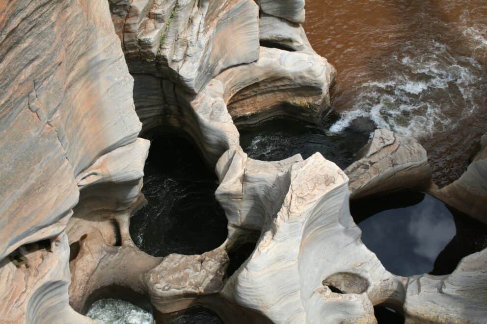
Where the Treur and Blyde rivers meet, swirling water has spent thousands of years drilling smooth, round hollows into the rock. Bridges and paths cross above them, so you can watch the river corkscrew through the stone beneath your feet.
Tom Bourke, who gave the place his name, was convinced there was gold down there. The rest of us settle for the scenery. Give it around two hours. Children treat the bridges as a personal challenge, so keep a hand free.
4. The Three Rondavels Are a Postcard That Delivers
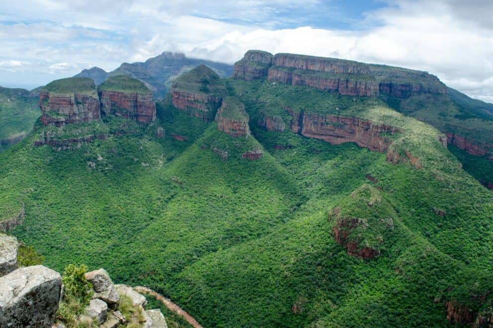
Three rounded quartzite and shale peaks stand against the far wall of the canyon, with the Blyde River coiling dark green far below. They’re named after rondavels, the round huts found across rural southern Africa, and once someone points out the resemblance, you can’t unsee it.
Most people arrive around midday, when the rock looks flat and a little bleached. If your schedule allows, go in the soft hours on either side. Shadows settle into the folds of the canyon wall, and the view gains depth, like a stage after the house lights drop.
“…we flew up north and transitioned toward the bush via the breathtaking Panorama Route. The drive took us past landscapes that felt as immense and humbling as the Grand Canyon. Standing before the massive, green-clad peaks of the Three Rondavels and watching the swirling waters of Bourke’s Luck Potholes, the sheer environmental diversity of South Africa became undeniable.” – Heili and Cameron’s Traveller Story.
5. Waterfalls Keep Turning Up on the Panorama Route
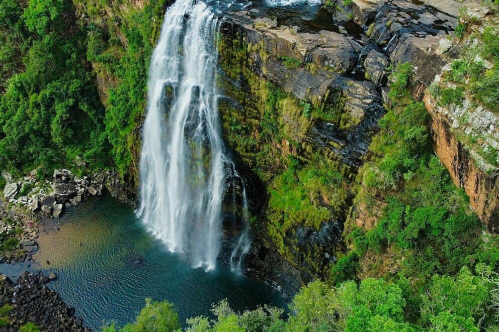
Lisbon Falls drops 94 m/308 ft, making it the tallest of the area’s falls. Just north of Graskop you’ll find Berlin Falls, while a short drive south toward Sabie brings you to Mac Mac Falls, Bridal Veil Falls, and Sabie Falls. Mac Mac is said to be named for the many Scottish prospectors who staked claims nearby, a story that comes free with the view.
Waterfalls follow the rain. Summer tends to fill them out, while the end of the dry season, roughly late August to November, leaves them thinner. If waterfalls are high on your list, your calendar matters more than your camera.
6. Pilgrim’s Rest Is History With Its Boots On
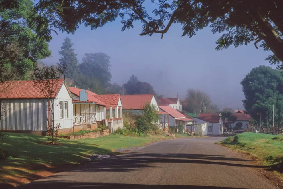
In the 1870s, gold fever swept through these hills. Prospector Alec “Wheelbarrow” Patterson struck gold in Pilgrim’s Creek; the area was declared a goldfield in 1873, and a town sprang up around the diggings.
Today Pilgrim’s Rest is a preserved village where you can wander at your own pace, with the chance to pan for gold yourself. Kids will pan for exactly as long as it takes to realise it’s work. Adults tend to last a little longer.
It’s also a story worth hearing in full. A gold rush looks different depending on who was holding the shovel, and a good guide won’t skip that part.
7. Slow Travellers Get the Best Seats
There are forest paths, rim trails, and longer hikes inside the Blyde River Canyon Nature Reserve, plus horse and mountain bike trails if walking feels too sedate. Eagles and other raptors work the cliff edges overhead, so bring binoculars and a flexible neck.
This is where the route stops being scenery and becomes somewhere you’ve actually been. Walk a little past the car park. Stay after the tour groups leave. Notice the smell of wet forest and the sound of water you can’t see yet. Nobody has ever regretted an extra hour from a viewpoint.
8. Graskop Deserves More Than a Fuel Stop
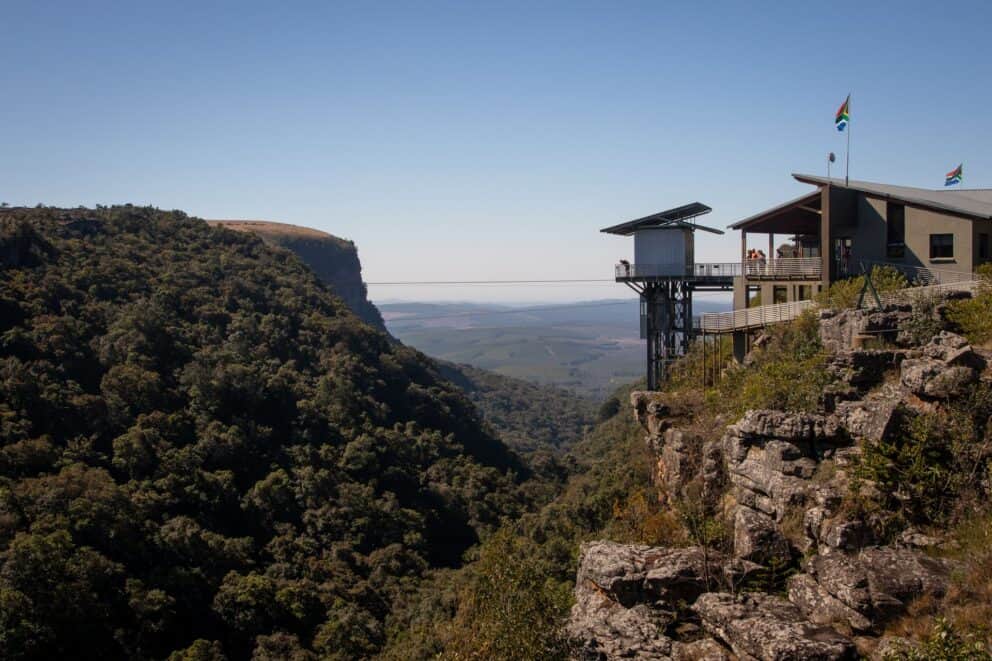
Graskop is the official gateway to the route and a pleasant town to slow down in. Craft shops, small cafes, and a reputation for pancakes that arrive long before you do.
It’s also where the adventurers play. The Graskop Gorge Lift carries you down into a forest gorge, and there are plenty of other ways to raise a heart rate if that’s your style. For families, it’s the kind of base where nobody has to be talked into dinner. Nothing resets a car-weary back seat like a stack of pancakes.
9. The Kruger National Park Panorama Route Pairing Just Works

The northern end of the route sits close to Hoedspruit, which is near safari regions such as Timbavati and Thornybush. That’s what makes the Kruger National Park Panorama Route pairing so easy to love: the road between the bush and your onwards flight becomes part of the trip instead of a lost day.
Think of it as a decompression chamber with better views. After days of game drives, you swap scanning for movement with taking in distance, and each makes the other sweeter. For a family, it turns a long transfer into a string of stops everyone remembers.
Get inspired by our Kruger, Timbavati, and Panorama Route safari tour.
10. There’s More Off the Main Road
The Echo Caves, in the limestone near Ohrigstad, are one of the route’s lesser-known stops. Some of the best moments won’t be on any list: a lay-by where the valley suddenly opens up, a viewpoint with nobody else in it.
The famous stops are famous for good reason. Just leave gaps in the day for the rest.
Planning Your Panorama Route Road Trip

Plenty of Panorama Route South Africa guides stop at the sights. This part covers the practical questions: where, when, how, and who.
Reading the Panorama Route Map
Most travellers start at Graskop and work north. The classic route begins just outside town along the R534 loop, hitting The Pinnacle and God’s Window first before rejoining the R532 for Lisbon and Berlin Falls.
From there, keep heading north to Bourke’s Luck Potholes and on to the Three Rondavels at the far end of the canyon. Pilgrim’s Rest sits about 30 minutes west of Graskop, making it an easy standalone detour. Distances look small on paper, but between viewpoint walks and gate stops, give the drive plenty of breathing room.
When to Go
May to August is the popular window, with cooler, drier days – this is also the perfect time to pair the Panorama Route with a Kruger safari. Summer brings greener hillsides, fuller waterfalls and mist, plus the odd afternoon storm to keep things dramatic. Neither is wrong. It comes down to whether you’d rather have crisp or lush.
Getting Around
There’s no public transport along the route, so you’ll need a car or a guide. Our safari experts arrange a private driver guide so that all you need to do is sit back and take in the sights. You stay at the Three Rondavels as long as you like, and nobody is steering you towards a lunch stop. Pack comfortable shoes, a hat, sunscreen, and plenty of water, because most of the good bits are outdoors.
Who It Suits
People who would rather walk to the view than be driven to it. Families with curious children, who get gold panning, waterfalls, and room to run. If your perfect day involves a long lunch and no hiking, the route still works. We’d simply pace it differently and pair it with a stay to match.
Start Planning Your Panorama Route Chapter
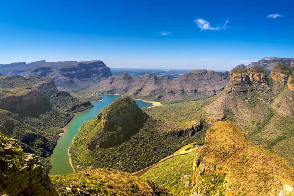
After days of learning to look closely at the bush, the escarpment teaches you to look far. That’s the real reason to explore the Panorama Route: it gives you a second way of seeing Africa, and it makes the first one stay with you.
We’ve stood at these viewpoints, waited out the clouds, and learned which turn-offs are worth the detour, which is why we plan this route alongside safaris rather than instead of them.
Inspired by this place? Let’s start designing your journey.
Written by Yamkela Welaphi
• Travel Writer


Verified by Vihann Van Wyk
• Africa Safari Expert
Discover the African Journey that’s Right for You
 Blog List























Written by Yamkela Welaphi
• Travel Writer
Verified by Vihann Van Wyk
• Africa Safari Expert
Part of the South Africa Safari Collection